
Wildfire
Advanced wildfire risk assessment, real-time fire detection, and predictive analytics to protect lives, property, and ecosystems.
Active Fire Monitoring
Every active wildfire and hotspot globally — detected from MODIS and VIIRS satellite sensors, updated in near real-time, with fire perimeter and risk zone overlays.
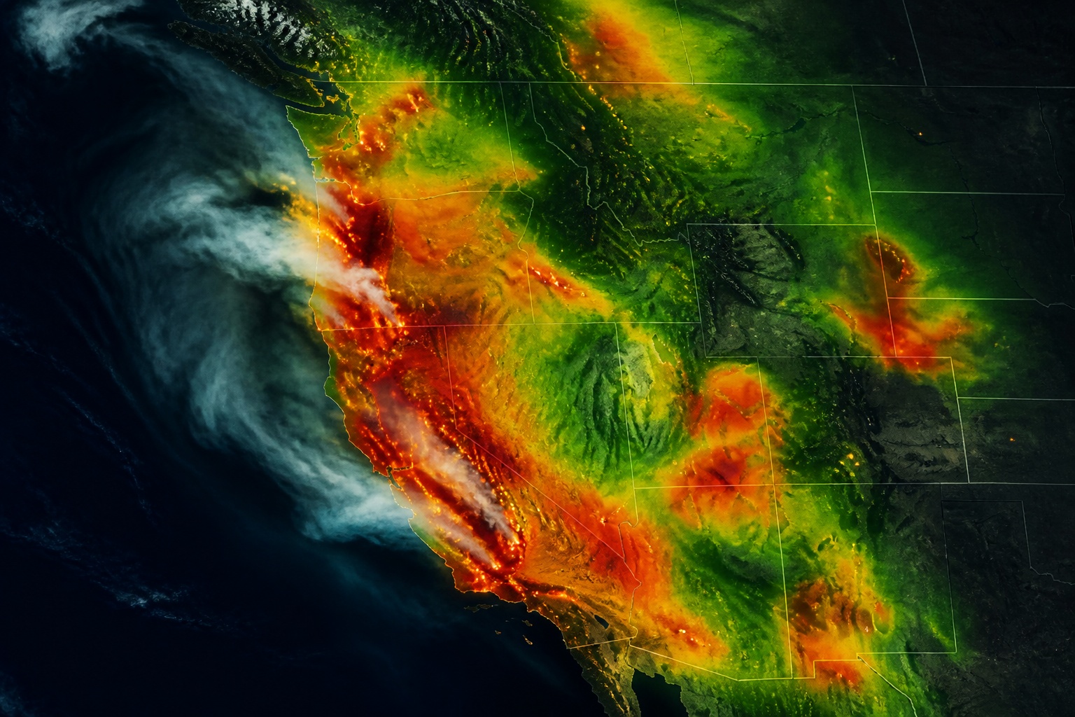
Every Stage of the Fire Lifecycle
From pre-season risk modeling and ignition prediction through real-time detection to post-fire recovery assessment.
MODIS and VIIRS satellite sensor data providing hotspot locations at 375m resolution globally with sub-10-minute update latency.
Canadian Fire Weather Index (FWI), Fosberg Fire Weather Index, and Burning Index derived hourly from forecast weather grids.
72-hour fire spread simulations using terrain, fuel type, moisture, and wind data — identifying threatened areas before arrival.
Real-time smoke plume modeling with PM2.5 and AQI forecasts at 3km resolution — critical for public health and evacuation routing.
ML-based lightning ignition probability maps combining forecasted strike density, dry lightning conditions, and fuel moisture.
Burn severity mapping using NDVI differencing, erosion risk modeling, and ecosystem recovery tracking after fire events.
Smoke Dispersion & AQI Forecasts
Real-time and forecast PM2.5 concentrations and AQI categories at 3km resolution — so communities, employers, and event organizers can make timely decisions about outdoor exposure.
Our smoke model ingests satellite-detected fire radiative power, atmospheric wind data, and boundary layer stability to produce 48-hour plume forecasts updated every hour.

GOES-16 AOD data continuously calibrates our PM2.5 model, reducing errors by 40% vs. chemistry-only approaches.
3km grid allows zip-code-level AQI forecasts — actionable for schools, stadiums, and outdoor workplaces.
Trigger automated alerts to employee apps, community systems, or public safety platforms when AQI crosses thresholds.
Built for Fire-Critical Operations
Whether you protect communities, assets, or ecosystems — our wildfire intelligence integrates into your existing workflows.
Situational awareness dashboards with spread predictions, fuel moisture, and spotting forecasts to guide resource deployment.
Historical fire perimeter data, FWI climatology, and real-time ignition alerts for underwriting, CAT modeling, and claims.
Power line vulnerability mapping, Public Safety Power Shutoff (PSPS) decision support, and grid-adjacent fire monitoring.
Fuel load assessment, prescribed burn windows, long-range fire season outlooks, and post-fire reforestation planning.
Protect your operations, assets, and people with the most comprehensive wildfire intelligence platform available. Integration in hours.